Le Mont Mézenc, c’est le site emblématique et donc incontournable de votre séjour. Du haut de ses 1753 mètres, c’est le plus haut sommet de la Haute-Loire et de l’Ardèche ; un sommet qui offre une vue exceptionnelle à 360° sur une grande partie du Sud Est de la France, des Alpes au Vercors sans oublier les monts d'Auvergne et le mont Ventoux.

Le Mézenc, c’est plus qu’un surprenant panorama. Vous entendrez probablement parler de la ligne de partage des eaux ; une expression révélant, qu’au départ, un tout petit écart de quelques centimètres peut conduire au final à une séparation de plusieurs centaines de kilomètres ! La crête du Mézenc forme une ligne séparant les vallées du Rhône et de la Loire. Si les précipitions viennent à tomber d’un côté, les pluies emprunteront le chemin du bassin versant du Rhône pour achever leur course dans la méditerranée. De l’autre côté, le bassin versant de la Loire conduira les eaux de pluie jusqu’à l’Atlantique.
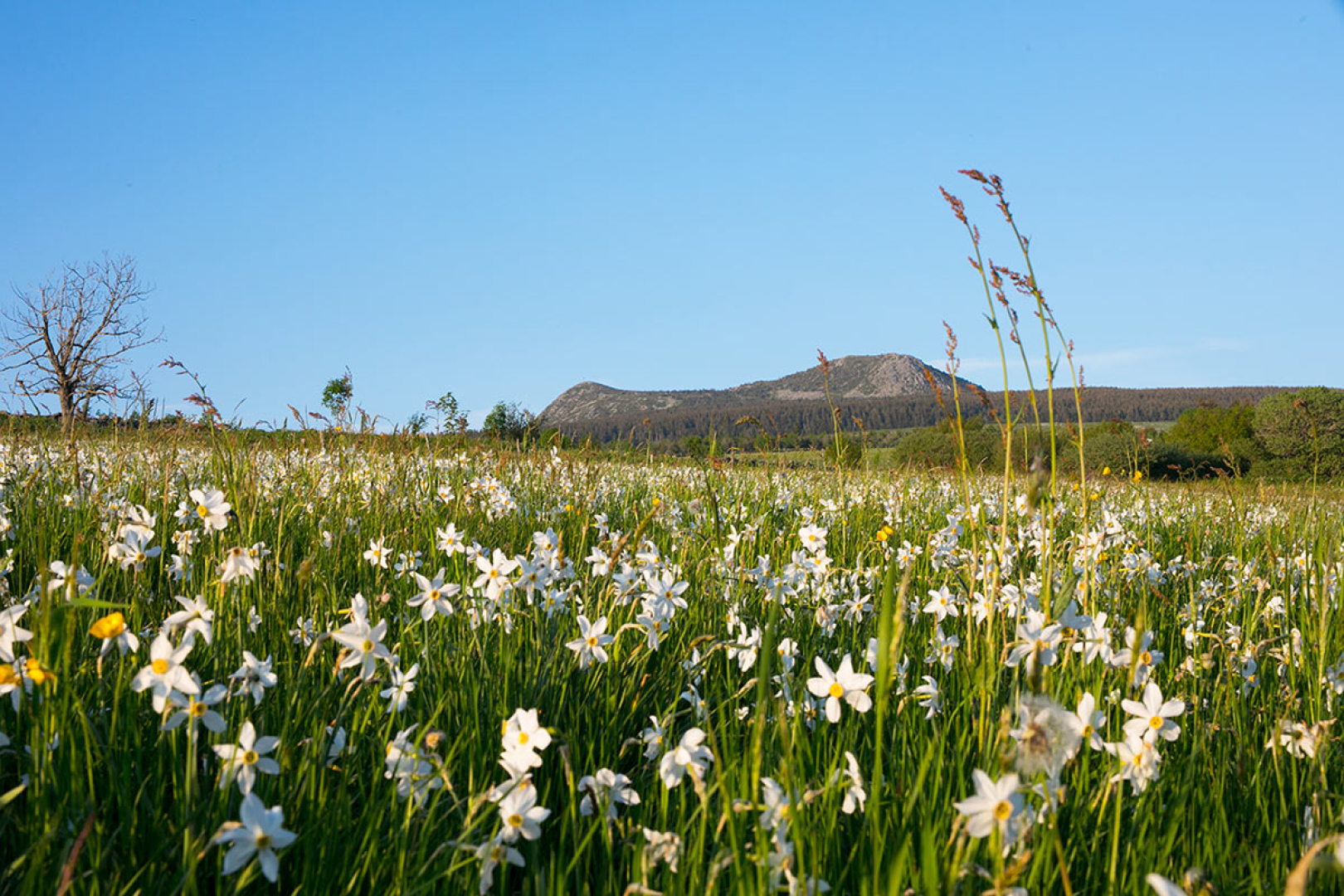
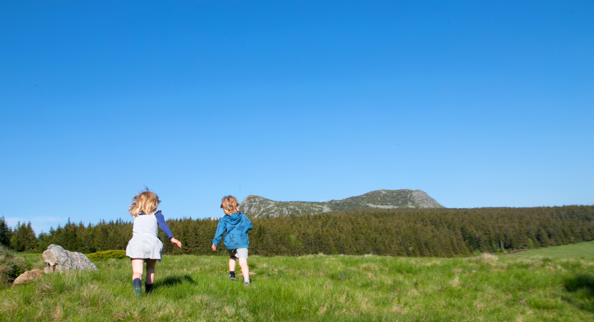
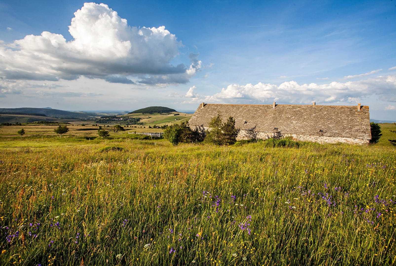
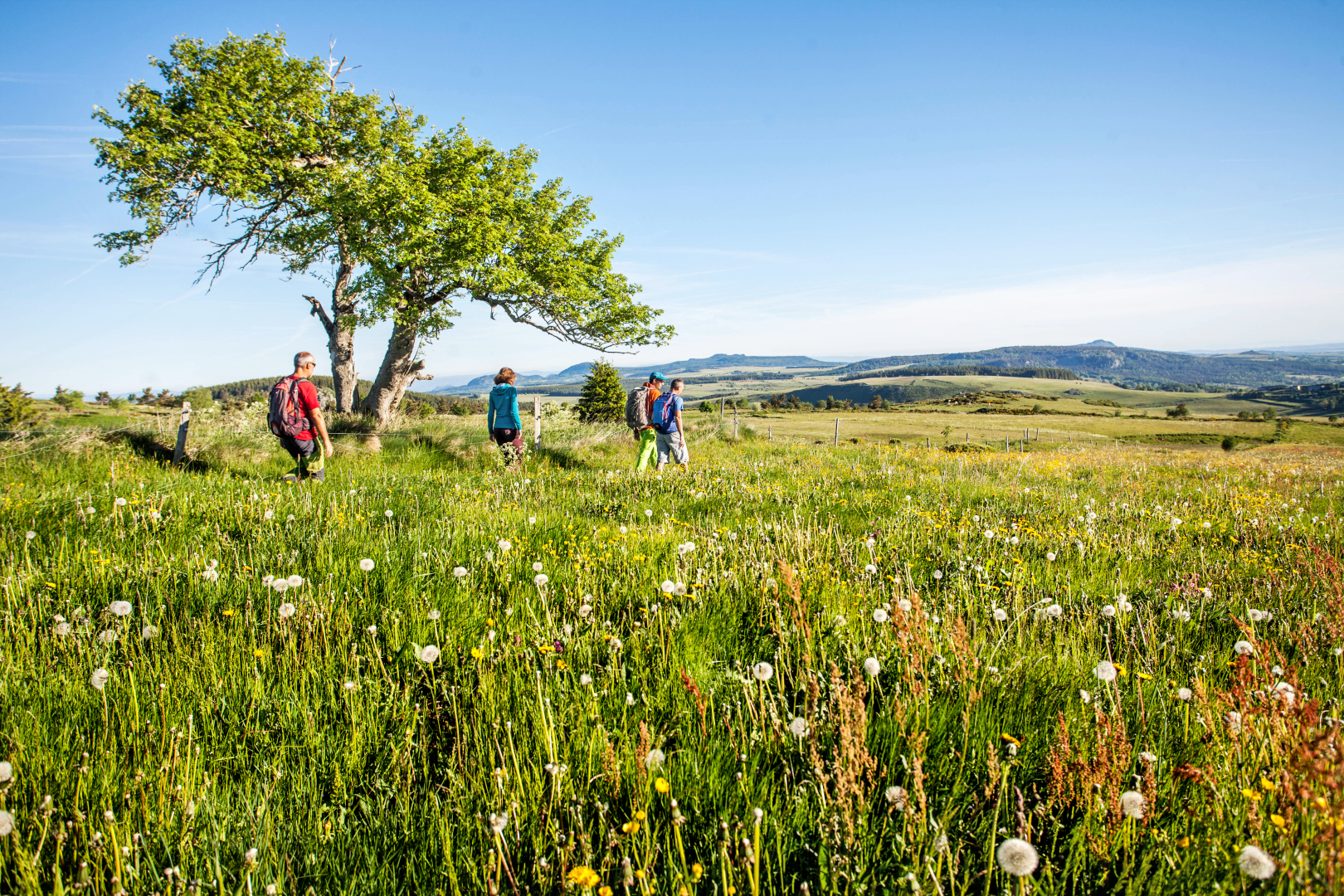
Le Mézenc, c’est aussi ses hauts plateaux, une immensité horizontale, des paturages à perte de vue, la nature sauvage. Autour, une flore abondante et colorée offrant, du printemps à l’automne, un spectacle qui n’est jamais le même. Sous vos pieds, la phonolite, une roche qui habille les toitures de nombre d’habitations des villages environnants et qui est là pour vous rappeler que le Mézenc est avant tout un volcan.
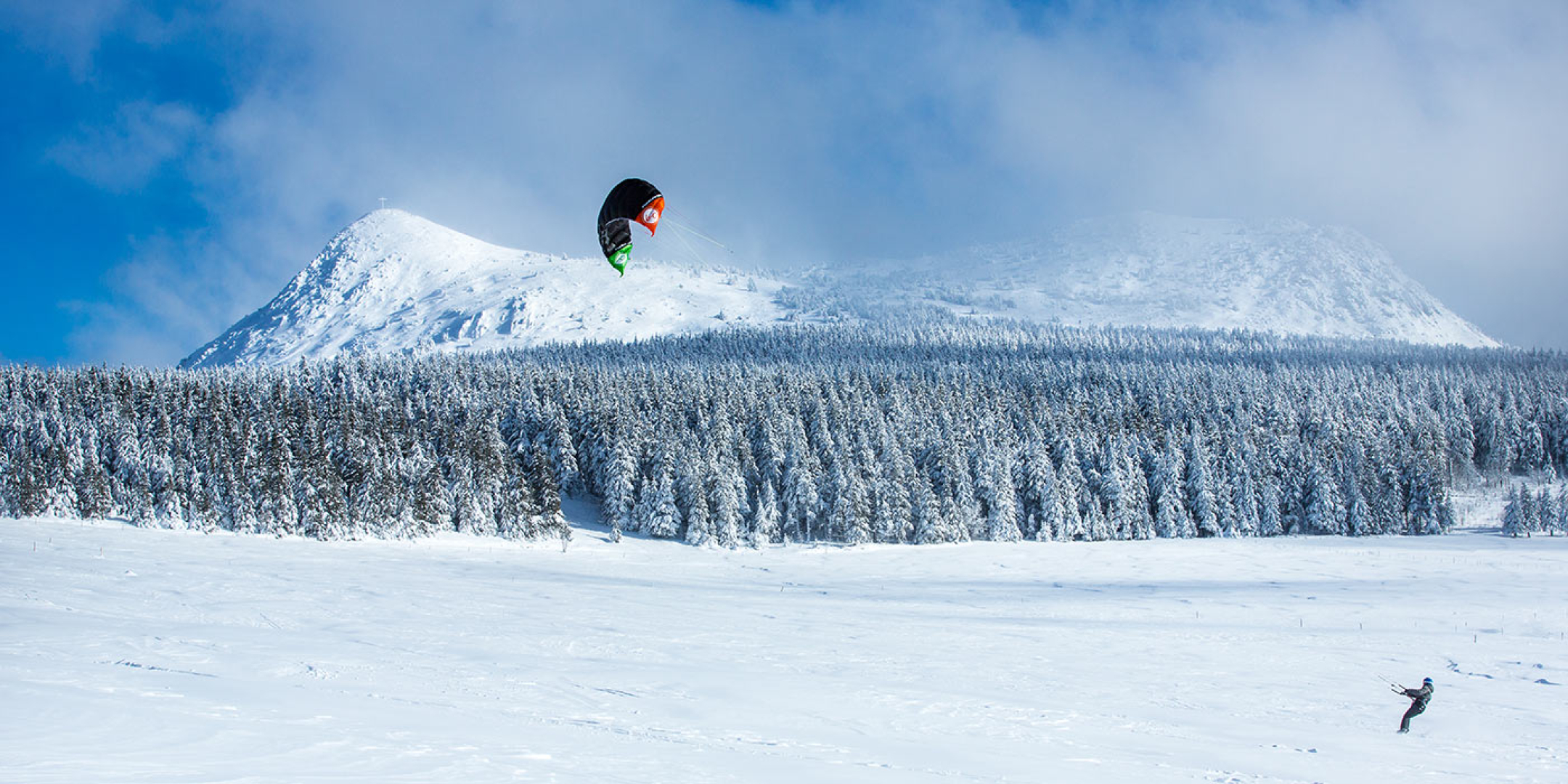
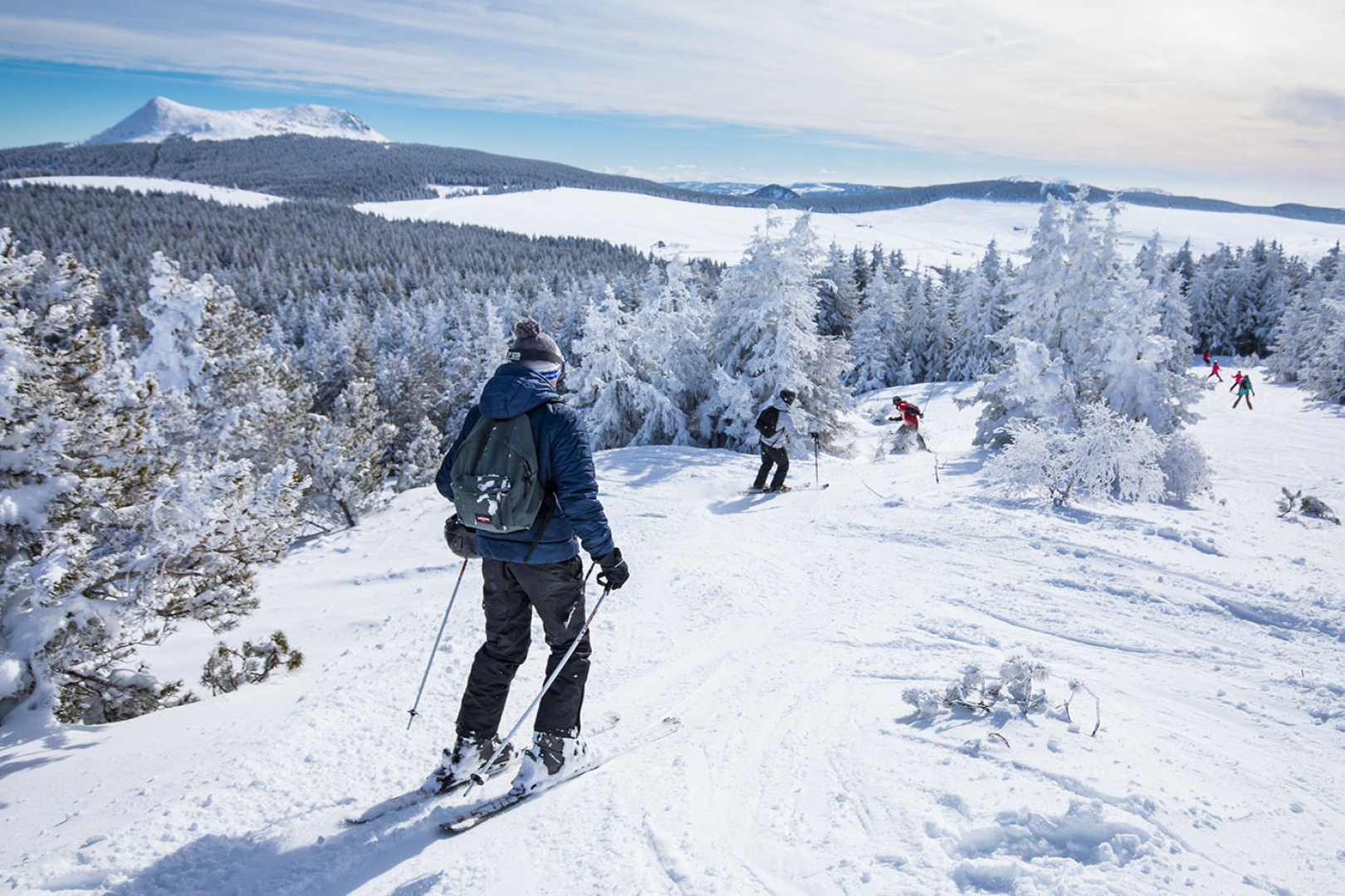
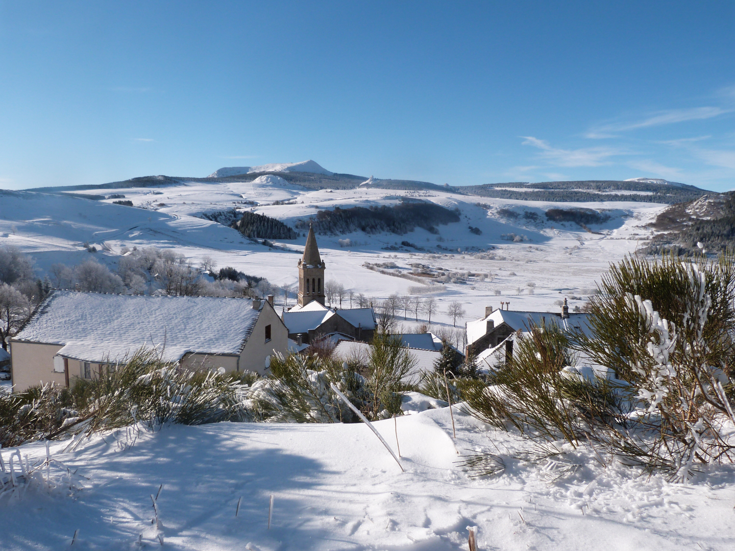
Des Hauts Plateaux qui se couvrent de neige l'hiver venu et où souffle la burle... Il neige, le vent se lève, glacial, il soulève la neige, la transporte, vous oblige à baisser la tête, c'est la burle !
D'ailleurs, c'est ici que vous trouverez la seule station de ski du département, qu'on appelle chez nous le paradis blanc...
Ski alpin, ski de fond, raquettes, chien de traineaux... une multitude d'activités à découvrir sur la période d'hiver.